
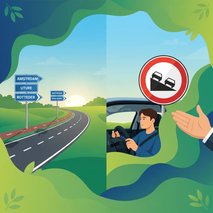
This lesson dives into information signs ('richtings- en bestemmingstekens'), a key part of the Dutch Category A motorcycle theory exam. Understanding these signs is crucial for safe navigation and route planning, especially on longer journeys. We'll break down the symbols, colours, and meanings that guide you to your destination and essential services.

Navigating the roads safely and efficiently as a motorcyclist in the Netherlands requires a comprehensive understanding of all traffic signage. While regulatory signs dictate what you must or must not do, and warning signs alert you to potential dangers, information signs (known in Dutch as richtings- en bestemmingstekens) play a crucial role in guiding your journey. These signs provide non-mandatory yet highly useful data about directions, distances, destinations, and available services, enabling you to make informed decisions on the road.
This lesson, part of your Dutch Motorcycle Theory – Category A Comprehensive Preparation, will delve into the specific types of informational signs found in the Netherlands. We will explore their design, meaning, and how they contribute to strategic route planning and overall road safety. By mastering the interpretation of these signs, you can enhance your situational awareness, reduce rider fatigue, and ensure a smooth, predictable trip, whether you're on a short city ride or a long-distance tour.
Informational signs are distinct from other sign categories because they offer guidance rather than commands. Despite their advisory nature, their design and placement are highly standardized to ensure maximum effectiveness for all road users, including motorcyclists who often experience unique perceptual challenges. Understanding these core principles is fundamental to their correct interpretation.
All informational signs in the Netherlands adhere to a strict set of regulations concerning their shapes, colours, and symbols, as defined in the Reglement verkeersregels en verkeerstekens (RVV 1990). This standardisation guarantees instant recognisability across the entire national road network, regardless of whether you are in a bustling city or a remote rural area. This consistency is particularly beneficial for motorcyclists, who need to process information quickly due to higher speeds and reduced peripheral vision from helmets.
A key characteristic of information signs is their advisory nature. Unlike regulatory signs, there is no legal requirement to obey their content directly. For example, while a sign might point to a "Tourist Route," you are not legally obliged to follow it. This provides flexibility in route choice while still promoting safer, more logical travel decisions. However, ignoring critical navigational information can indirectly lead to unsafe actions, such as sudden lane changes or missed exits, which may then contravene other traffic rules related to general duty of care.
The placement, height, illumination, and contrast of informational signs are carefully regulated to ensure maximum readability. For instance, signs on roads with a speed limit exceeding 70 km/h are typically designed to be legible from at least 150 meters away. This aids motorcyclists by providing sufficient perception and reaction time. Poor visibility, such as during heavy rain, dense fog, or at night, can significantly reduce the effective range of these signs, necessitating a reduced approach speed to maintain safety.
Informational signs are designed to convey the most critical data first, streamlining cognitive processing for riders under time pressure. The typical hierarchy flows from general direction, to distance, then specific destinations, and finally to available facilities. For example, a sign will first show the arrow for a major route, then the distance to the next major town, then perhaps a specific point of interest, and only then indicate a nearby service. Misreading this order can lead to incorrect route decisions and potential hazards.
The content of informational signs must always be consistent with the actual surrounding road layout and conditions. A sign indicating a "Motorway Exit" will only appear where a physical exit truly exists. This consistency prevents confusion and misinformation, building trust in the signage system. Should you encounter inconsistent or conflicting signage, it might indicate a road authority error, but as a rider, you should always cross-reference with your knowledge of the road and, if possible, navigation tools.
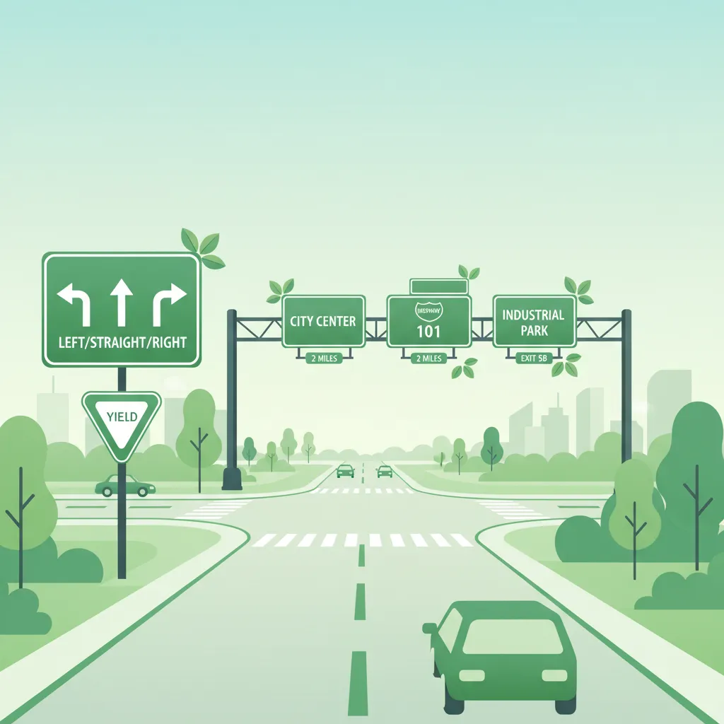
The Dutch road network employs several distinct types of information signs, each serving a specific purpose in guiding road users. Recognising these categories and their unique characteristics is vital for effective navigation.
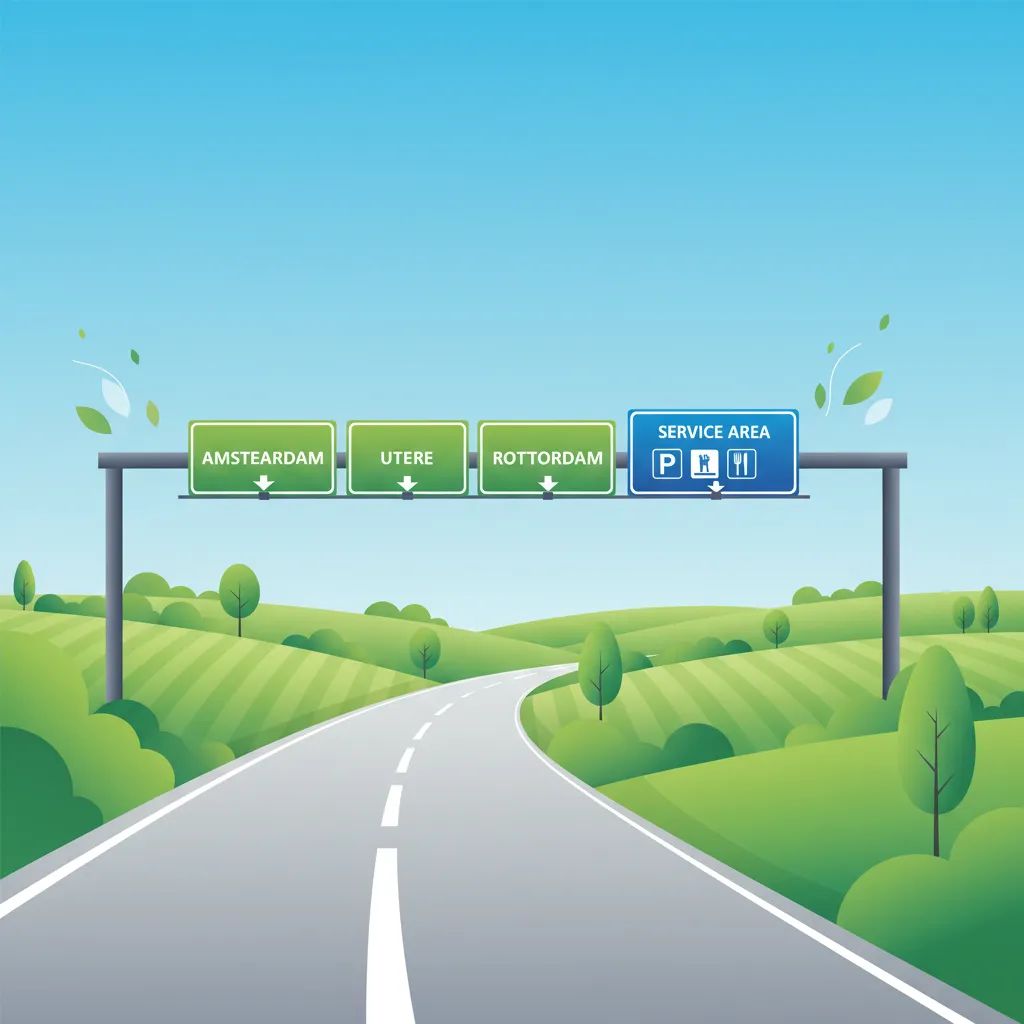
Directional signs are rectangular and predominantly feature a blue background with white arrows and text for national roads, or a green background with white arrows and text for motorways (A-roads). They are designed to guide riders towards a specific road or route.
These signs can be:
On high-speed roads, directional signs are typically placed well in advance of a junction, often 150 meters or more. This provides motorcyclists with sufficient time to assess the information, check mirrors, signal, and safely position themselves for an exit or turn.
Destination signs are blue rectangular signs that display the names of cities, towns, villages, or specific points of interest. They frequently include the distance to the named location in kilometres.
These signs can feature:
Destination signs help riders confirm they are on the correct route and allow for early planning of lane changes or exits. It's important to pay attention to the distance value, as it indicates the total distance to the destination, not just to the next junction.
Distance signs provide crucial information about the remaining kilometres to a referenced location. They are typically blue and positioned directly below or next to associated directional or destination signs. For very short distances (e.g., less than 500 meters), the distance may occasionally be expressed in metres.
These signs are essential for:
Motorcyclists should look for a decreasing sequence of distance values as they travel, confirming they are on the correct route towards their destination.
Service and facility signs are blue background signs featuring white pictograms that indicate the presence of essential services or amenities. These signs are invaluable for planning breaks and ensuring the comfort and safety of a journey.
Common symbols include:
While service signs indicate availability, they generally do not guarantee 24-hour operation. Riders should consider verifying opening hours, especially during night rides or in less populated areas.
These distinctive blue signs feature white icons representing cultural, natural, or scenic attractions. They often include a distance indication, aiding riders who wish to explore points of interest or scenic routes.
Examples include:
These signs are purely informative and do not imply any special road conditions or priority. Riders should still adhere to all standard traffic rules when deciding to deviate for sightseeing.
Variable Message Signs are electronic display panels found primarily on motorways and major arterial roads. They provide real-time, dynamic information, supplementing static signs with up-to-date data.
VMS can display:
For motorcyclists, VMS require quick interpretation as they may necessitate immediate adjustments to route choice or speed. In case of conflicting information, the data presented on a Variable Message Sign generally takes precedence over static signs because it reflects the most current road conditions.
While informational signs are advisory, their deployment and characteristics are strictly governed by Dutch traffic law, primarily the RVV 1990. These regulations ensure consistency, visibility, and accuracy across the road network, directly impacting a motorcyclist's ability to navigate safely.
The placement of informational signs is critical for providing adequate perception and reaction time, especially on high-speed roads.
The accuracy and upkeep of informational signs are also regulated to prevent misinformation and maintain trust in the signage system.
Even with clear regulations, certain situations can lead to misinterpretations or difficulties for motorcyclists regarding informational signs. Awareness of these common challenges can help riders anticipate and avoid potential hazards.
Effective interpretation of informational signs often requires motorcyclists to adjust their approach based on prevailing conditions. Factors such as weather, lighting, road type, and even the state of the vehicle can significantly impact sign visibility and the time available for a safe reaction.
Information signs are fundamental to a motorcyclist's safety and strategic riding decisions. Their design and placement are rooted in an understanding of human perception, cognitive load, and risk psychology, aiming to minimise errors and prevent accidents.
The human visual system is optimised to process high-contrast colours and clear shapes quickly. The blue/green backgrounds with white text on Dutch informational signs are chosen for this very reason. Sign dimensions are calibrated to be legible at specific distances (e.g., 150 metres at 100 km/h), providing approximately 4 seconds for a rider to perceive the sign, understand its meaning, and initiate a response. This perception-reaction window is critical for safe decision-making.
Information signs are deliberately designed with a clear hierarchy (direction before distance, destination before services) to minimise cognitive load. Motorcyclists first scan for the most critical information—their desired direction—then process secondary details like distance and specific destinations. Overloading riders with too many signs or conflicting information can elevate the risk of errors, as their brains struggle to process everything in the limited time available.
An average rider's reaction time is approximately 1.0 second. At a speed of 120 km/h (approximately 33 metres per second), a motorcyclist travels about 33 metres before even beginning to react. This highlights why early detection and interpretation of signs are so crucial. Delaying the reading of a sign can drastically reduce the available space and time for a safe manoeuvre, especially on high-speed roads.
Riders, like all drivers, can sometimes underestimate distances or anticipate services that aren't there. The explicit provision of distance information on signs reduces this "optimism bias," encouraging more conservative speed selection and better planning. Data from studies, such as those by the Dutch Institute for Road Safety (SWOV), have shown tangible safety benefits, like a reported 12% reduction in missed exits on motorways when clear distance signs are present.
Mastering the specific vocabulary associated with informational signs in the Netherlands is essential for comprehensive understanding.
Let's examine how the correct interpretation and application of informational sign knowledge play out in real-world riding scenarios.
Scenario A: Approaching a Motorway Exit for a Major City
Scenario B: Locating a Fuel Station on a Rural Road at Night
Scenario C: Navigating a Detour During Roadworks
Scenario D: Responding to a Tourist Information Sign on a Scenic Route
Scenario E: Resolving Conflicting Information from VMS and Static Signs
Lesson content overview
Explore all units and lessons included in this driving theory course.
Explore search topics learners often look for when studying Information Signs (richtings- en bestemmingstekens). These topics reflect common questions about road rules, driving situations, safety guidance, and lesson level theory preparation for learners in the Netherlands.
Browse additional driving theory lessons that cover connected traffic rules, road signs, and common driving situations related to this topic. Improve your understanding of how different rules interact across everyday traffic scenarios.
Learn to interpret complex directional and destination signs for effective route planning on Dutch roads. This lesson explores how advanced information signage supports strategic navigation, especially on motorways and during long journeys, crucial for motorcycle theory.
This lesson explains how to interpret informational signs that provide guidance and navigational aid. You will learn to read directional signs indicating cities and locations, understand route numbering on major roads, and recognize signs for services like fuel stations or parking areas. It also covers the signs that mark the beginning and end of a built-up area ('bebouwde kom'), which have important implications for speed limits and traffic rules.

This lesson introduces warning signs, which are designed to alert drivers to potential dangers or changes in road layout ahead. You will learn to interpret the triangular-shaped signs that indicate hazards such as sharp curves, slippery road surfaces (J27), or upcoming road works (J8). The curriculum explains how these signs help in anticipating risks and adjusting driving behavior accordingly, such as reducing speed or increasing alertness. A thorough understanding of warning signs is vital for proactive and defensive driving in various environments.
This lesson focuses on the array of signs used to manage traffic at intersections and along multi-lane roads. You will learn to interpret overhead gantry signs, lane designation signs, and markings that guide drivers into the correct lane for their intended direction. The curriculum covers signs indicating priority at upcoming junctions, such as the B3 and B4 signs, which clarify right-of-way rules in complex scenarios. Proper interpretation of these signs is essential for smooth lane changes, efficient navigation, and preventing conflicts at junctions.
This lesson explains how to interpret directional and informational signs to navigate the Dutch road network effectively. You will learn to read route signs on highways, understand lane guidance arrows for complex intersections, and identify panels indicating services like fuel stations or rest areas. The content focuses on how motorcyclists can use this information for safe and efficient route planning, including adapting to real-time information from electronic signs.

This lesson details the specific regulations for driving on Dutch motorways, identifiable by the G1 sign. You will learn the correct procedure for joining the flow of traffic using the acceleration lane and for leaving via the deceleration lane. The curriculum reinforces the 'keep right unless overtaking' rule for lane discipline. It also explains that stopping is strictly forbidden, and the hard shoulder (vluchtstrook) may only be used for genuine emergencies.
This lesson focuses on regulatory signs, which impose legal obligations on drivers and are essential for maintaining traffic order. You will learn to identify and act upon fundamental signs such as the octagonal B6 Stop sign, the diamond-shaped B1 Priority Road sign, and various compulsory direction arrows. The content explains the legal implications of these signs, detailing when a driver must stop completely, when they have priority, or the required path they must follow. Understanding these commands is crucial for safe and lawful driving at intersections and on designated routes.
This lesson focuses on B-code signs, which provide essential information for navigation and route planning. It explains how to read directional signs for cities and motorways, understand route numbering, and identify signs for services like fuel stations or rest areas. For motorcyclists, clear and quick interpretation of these signs is vital for smooth navigation, especially when making decisions about lane changes for upcoming exits or junctions.
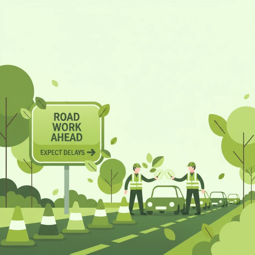
This lesson prepares you for encountering road works, a common feature on any road network. You will learn that signs and markings related to road works are often yellow and that they temporarily override permanent white markings and signs. The curriculum stresses the importance of adhering to temporary speed limits, being alert for workers and machinery, and navigating narrowed lanes. It also covers how to follow diversion routes ('omleiding') and obey instructions given by traffic controllers.
This lesson focuses on the specific speed regulations for major highways in the Netherlands. You will learn to identify an 'autosnelweg' (motorway, G1 sign), where the speed limit is 100 km/h between 6:00 and 19:00 and often 130 km/h at other times, unless indicated otherwise. The lesson also covers the 'autoweg' (expressway, G3 sign), which typically has a speed limit of 100 km/h. Furthermore, you will study dynamic speed limits indicated on electronic signs, which can change due to traffic or weather conditions.

This lesson covers the procedures and safety considerations for driving in reverse and turning around. You will learn that reversing should only be done over short distances and when it does not endanger or obstruct other road users. The curriculum details techniques for turning in the road and identifies situations and locations where U-turns are prohibited. The importance of all-around observation, checking blind spots, and yielding to all other traffic is a central theme.
Explore real-world scenarios and common misinterpretations of information signs in the Netherlands. This lesson clarifies how factors like weather, lighting, and road type affect sign visibility and rider decision-making for the Dutch theory exam.
This lesson explains how to interpret informational signs that provide guidance and navigational aid. You will learn to read directional signs indicating cities and locations, understand route numbering on major roads, and recognize signs for services like fuel stations or parking areas. It also covers the signs that mark the beginning and end of a built-up area ('bebouwde kom'), which have important implications for speed limits and traffic rules.
This lesson introduces warning signs, which are designed to alert drivers to potential dangers or changes in road layout ahead. You will learn to interpret the triangular-shaped signs that indicate hazards such as sharp curves, slippery road surfaces (J27), or upcoming road works (J8). The curriculum explains how these signs help in anticipating risks and adjusting driving behavior accordingly, such as reducing speed or increasing alertness. A thorough understanding of warning signs is vital for proactive and defensive driving in various environments.
This lesson focuses on regulatory signs, which impose legal obligations on drivers and are essential for maintaining traffic order. You will learn to identify and act upon fundamental signs such as the octagonal B6 Stop sign, the diamond-shaped B1 Priority Road sign, and various compulsory direction arrows. The content explains the legal implications of these signs, detailing when a driver must stop completely, when they have priority, or the required path they must follow. Understanding these commands is crucial for safe and lawful driving at intersections and on designated routes.
This lesson focuses on the array of signs used to manage traffic at intersections and along multi-lane roads. You will learn to interpret overhead gantry signs, lane designation signs, and markings that guide drivers into the correct lane for their intended direction. The curriculum covers signs indicating priority at upcoming junctions, such as the B3 and B4 signs, which clarify right-of-way rules in complex scenarios. Proper interpretation of these signs is essential for smooth lane changes, efficient navigation, and preventing conflicts at junctions.
This lesson prepares you for encountering road works, a common feature on any road network. You will learn that signs and markings related to road works are often yellow and that they temporarily override permanent white markings and signs. The curriculum stresses the importance of adhering to temporary speed limits, being alert for workers and machinery, and navigating narrowed lanes. It also covers how to follow diversion routes ('omleiding') and obey instructions given by traffic controllers.
This lesson details the specific regulations for driving on Dutch motorways, identifiable by the G1 sign. You will learn the correct procedure for joining the flow of traffic using the acceleration lane and for leaving via the deceleration lane. The curriculum reinforces the 'keep right unless overtaking' rule for lane discipline. It also explains that stopping is strictly forbidden, and the hard shoulder (vluchtstrook) may only be used for genuine emergencies.
This lesson offers an in-depth study of Dutch regulatory signs, which impose mandatory actions or prohibitions on road users, with a specific focus on their impact on motorcyclists. It explains the visual language of prohibition symbols ('verbodsborden') and obligation symbols ('verplichtingsborden'), the contexts in which they appear, and the strict statutory consequences of non-compliance. Real-world examples are used to illustrate how these signs directly influence route planning, overtaking decisions, and speed management.

This lesson covers prohibition signs, which are used to forbid specific maneuvers or restrict access for certain vehicles. You will study the characteristics of these signs, typically circular with a red border, such as the C2 'No Entry for any vehicle' or the F1 'No Parking' sign. The content details the legal consequences of ignoring these prohibitions and explains how they contribute to traffic flow and safety in congested or sensitive areas. Recognizing these signs is fundamental to avoiding fines and dangerous situations on the road.

This lesson covers the full range of lights and signals required on a vehicle for visibility and communication. You will learn about the mandatory requirements for headlights, taillights, brake lights, indicators, and reflectors. The curriculum emphasizes the driver's legal responsibility to ensure all lights are clean and functional before every journey. The correct use and function of the horn as an audible warning device in case of imminent danger are also explained.
This lesson covers the core principle of road positioning in the Netherlands: drive as far to the right as is safely possible. You will learn why this rule is critical for maintaining traffic flow and preventing conflicts with oncoming and overtaking vehicles. The curriculum explains how to apply this rule on different road types, from single-lane rural roads to multi-lane motorways. It also discusses maintaining a safe lateral distance from the edge of the road, parked cars, and vulnerable road users like cyclists.
Find clear answers to common questions learners have about Information Signs (richtings- en bestemmingstekens). Learn how the lesson is structured, which driving theory objectives it supports, and how it fits into the overall learning path of units and curriculum progression in the Netherlands. These explanations help you understand key concepts, lesson flow, and exam focused study goals.
Directional signs ('richtingsborden') primarily indicate which lane or direction to take for a specific route, town, or motorway. Destination signs often include the name of the destination and the distance to it, helping you plan your journey.
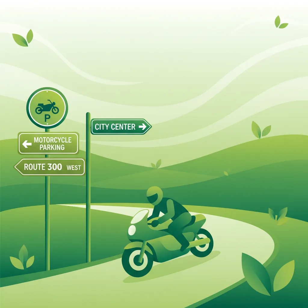
While most information signs are universal, the Category A exam focuses on understanding how these general signs apply to motorcycle navigation. For instance, knowing how to interpret signs for motorcycle parking or specific routes is key.
Regulatory signs (like speed limits or 'no entry') mandate specific actions. Warning signs (like sharp bends) alert you to potential hazards. Information signs, however, primarily provide guidance and directions to help you navigate.
In the Netherlands, information signs often use specific colours to denote road types: blue signs typically indicate motorways or permanent directions, while green signs often relate to main roads or temporary diversions. Yellow signs can indicate temporary conditions or deviations.
Information signs are a crucial part of the CBR Category A theory exam. You'll be tested on your ability to interpret them for navigation, route selection, and understanding the road ahead, ensuring you can ride safely and legally.